Visitor area

South County + Narragansett

The beaches-and-seafood stretch for Narragansett, Point Judith, Matunuck, and relaxed shore towns south of Providence.

Current coverage5 reviewed places

Each place here helps with a visitor decision: base, beach, island, airport, bike path, bay scenery, or heritage.

Where to stay

Compare places to stay around South County + Narragansett

Compare current accommodation prices around South County + Narragansett for your dates.

Partner map by Stay22. We may earn a commission on bookings at no extra cost to you. Prices and availability depend on your dates; check the property’s location and cancellation terms before booking.

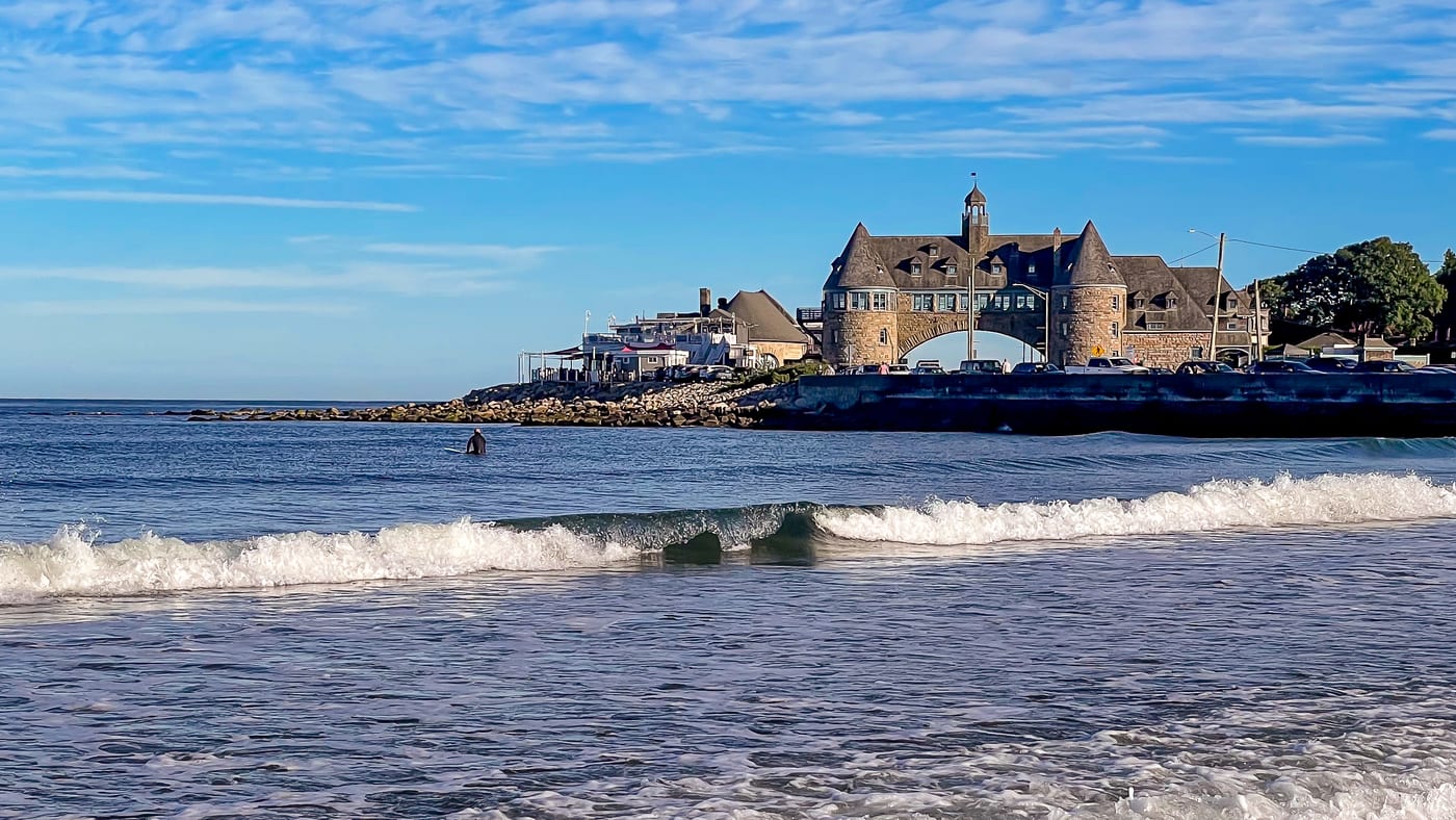
Narragansett Town Beach and shoreline buildings in Rhode Island · Photo: Ajay Suresh, via Wikimedia Commons · CC BY 2.0

The map loads from Stay22 only when you choose to open it.

Where it sits

See where this area sits in the Rhode Island plan

Keep the active pin in context before deciding whether this area should lead the trip or support another base.

Loading the visitor map…You can also choose an area from the list below.

Rhode Island area mapThe highlighted pin shows this area in the statewide route; open the place list below for local stops.
Categories

Use categories only after the area is clear

Visitor anchors

Reviewed places in this area

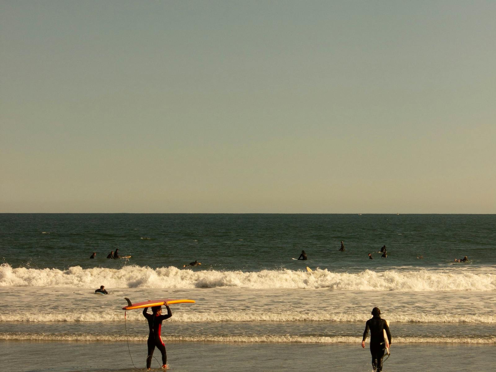
Surfers entering the waves at Narragansett Beach near sunset

The clearest South County beach for travelers deciding whether this Rhode Island trip should be coast-first.

Narragansett PierBeach

Last checked

South CountyBeachSummer
  • This town beach has separate admission and parking rules from state beaches. Its 2026 staffed season ended September 7; after Labor Day admission is free and no lifeguards are on duty.
  • Works as a South County signal even when the final beach choice changes.
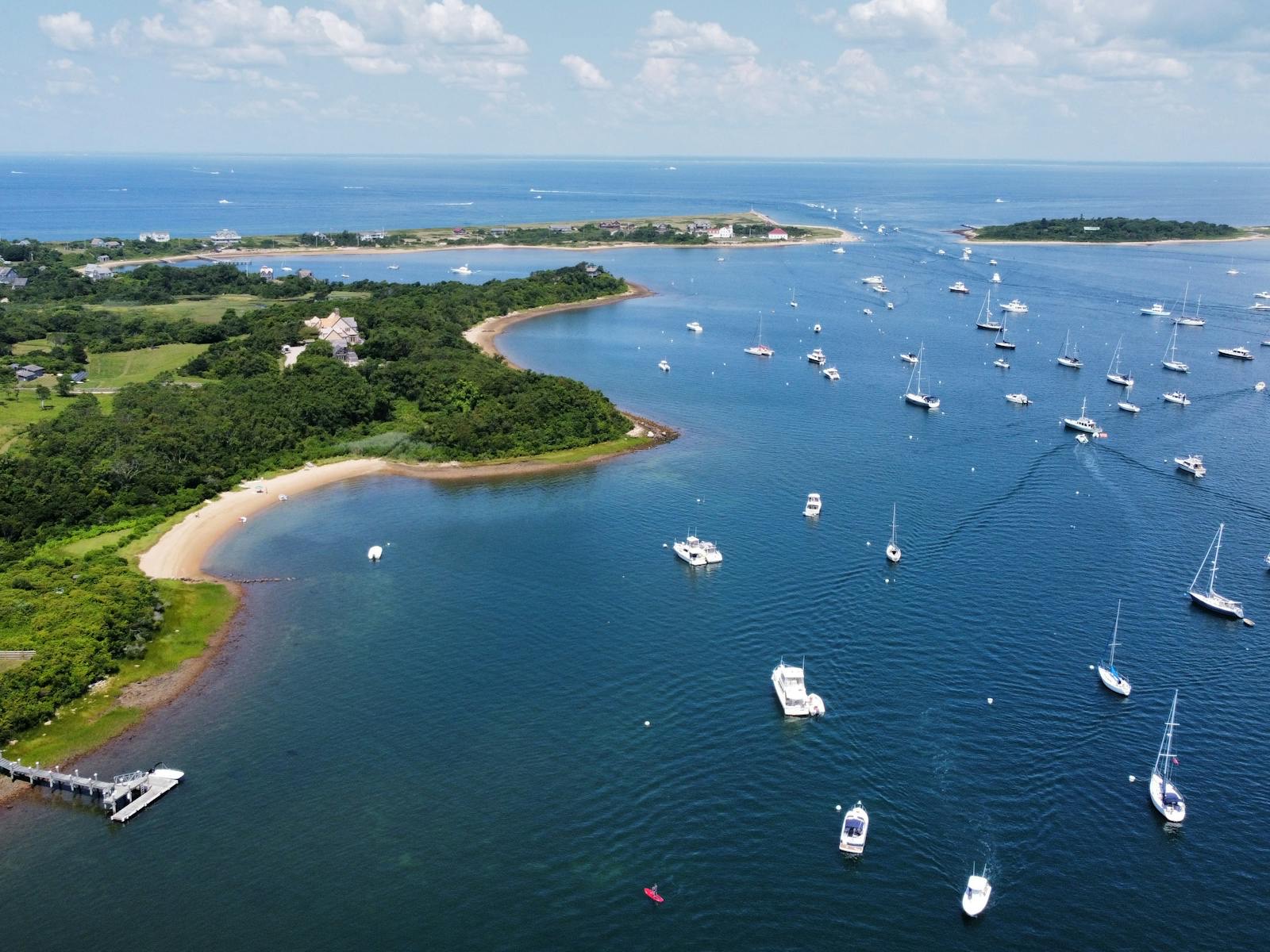
Aerial view of boats and shoreline around Block Island harbor

The planning hinge between South County and Block Island; ferry timing decides whether the island is a day trip, overnight, or bad idea.

Point Judith / GalileeFerry

Last checked

Block IslandFerryPoint Judith
  • Check Point Judith schedules before promising a Block Island day.
  • Use ferry timing to decide whether South County should be the mainland base.
Surfers entering the waves at Narragansett Beach near sunset

A Narragansett oceanfront restaurant for trips where South County should feel like a beach-and-dinner base, not only a sand stop.

Narragansett PierOceanfront Seafood

Last checked

South CountyNarragansettSeafood
  • Use it when Narragansett needs an evening reason, not only a beach-fee calculation.
  • Reservation timing matters in beach season, especially when ferry or parking plans are already tight.
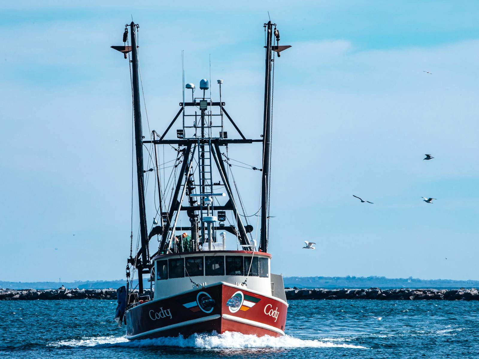
Fishing boat moving across Narragansett Bay with gulls overhead

A South County oyster and seafood spot that makes the mainland beach area feel specific instead of interchangeable with any coastal town.

Matunuck / Potter PondOyster Bar

Last checked

South CountyMatunuckOysters
  • Use it when the food plan should justify staying South County instead of commuting from Providence.
  • Check the official hours page before treating it as a guaranteed beach-day dinner.
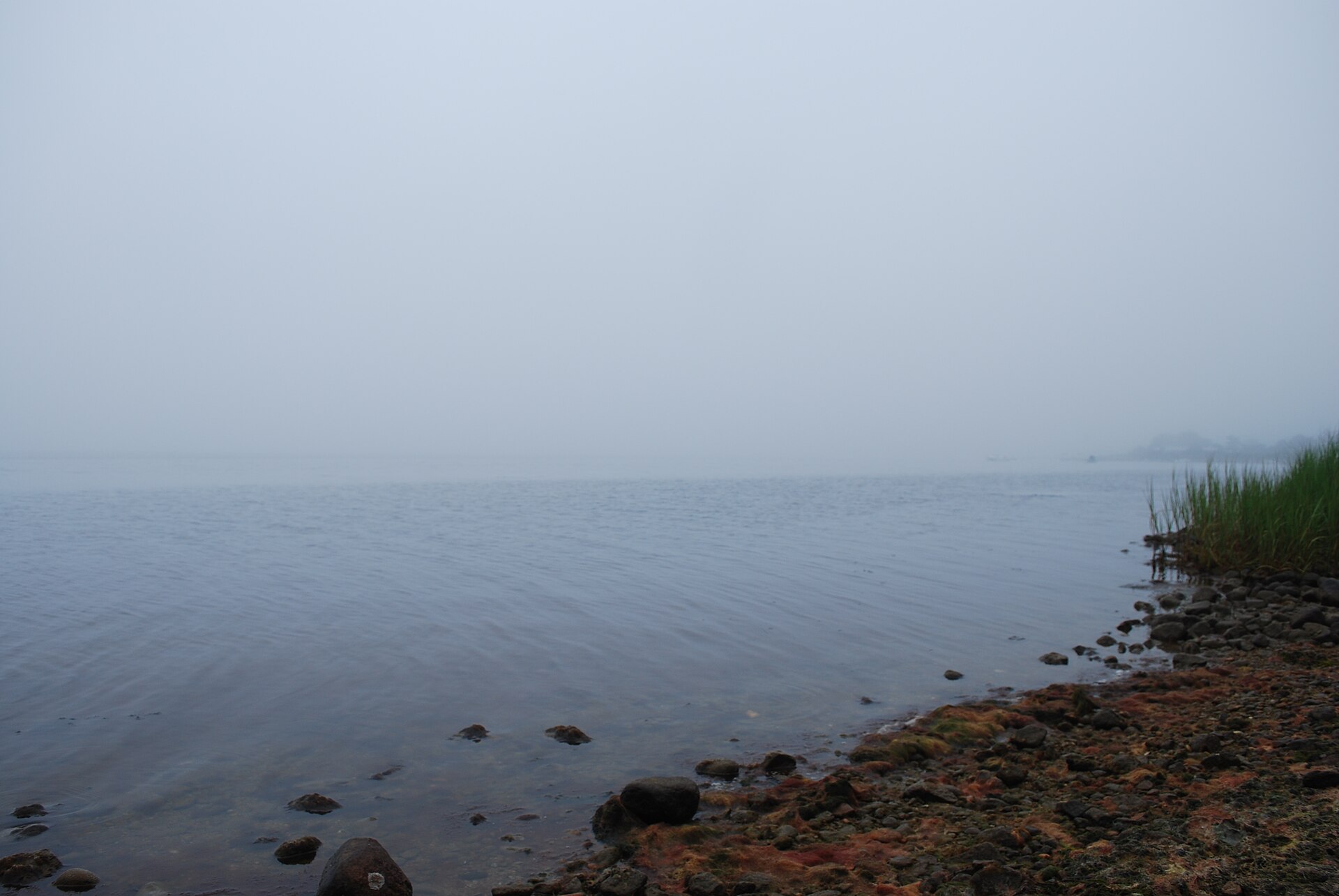
The misty shoreline of Ninigret Pond at the wildlife refuge in Charlestown

On Ninigret Pond, Rhode Island's largest coastal salt pond, this refuge protects grasslands, shrubland, and shoreline on the Atlantic Flyway, with easy trails and strong birding.

Charlestown / Ninigret PondNature Reserve

Last checked

South CountyNature ReserveBirding
  • The best South County stop for salt-pond birding and flat coastal trails.
  • Pairs with Charlestown's beaches for a nature-led shoreline day.
Guides

Guides that use this area