Visitor area

Jamestown + Bay Islands

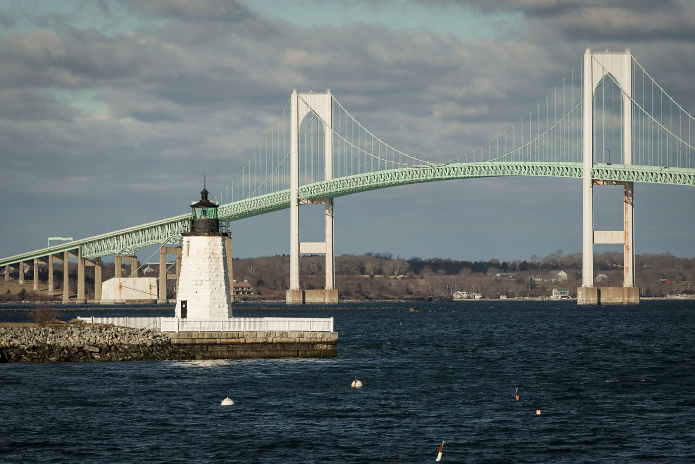
A smaller bridge-and-bay area between Newport and the mainland, useful for Beavertail, quieter coastal drives, and avoiding a full Newport commitment.

Current coverage 1 reviewed places

Each place here helps with a visitor decision: base, beach, island, airport, bike path, bay scenery, or heritage.

Where it sits

See where this area sits in the Rhode Island plan

Keep the active pin in context before deciding whether this area should lead the trip or support another base.

Loading the visitor map… The complete lane list remains available below.

Rhode Island area map Pins show areas, not official boundaries.
Categories

Use categories only after the area is clear

Visitor anchors

Reviewed places in this area

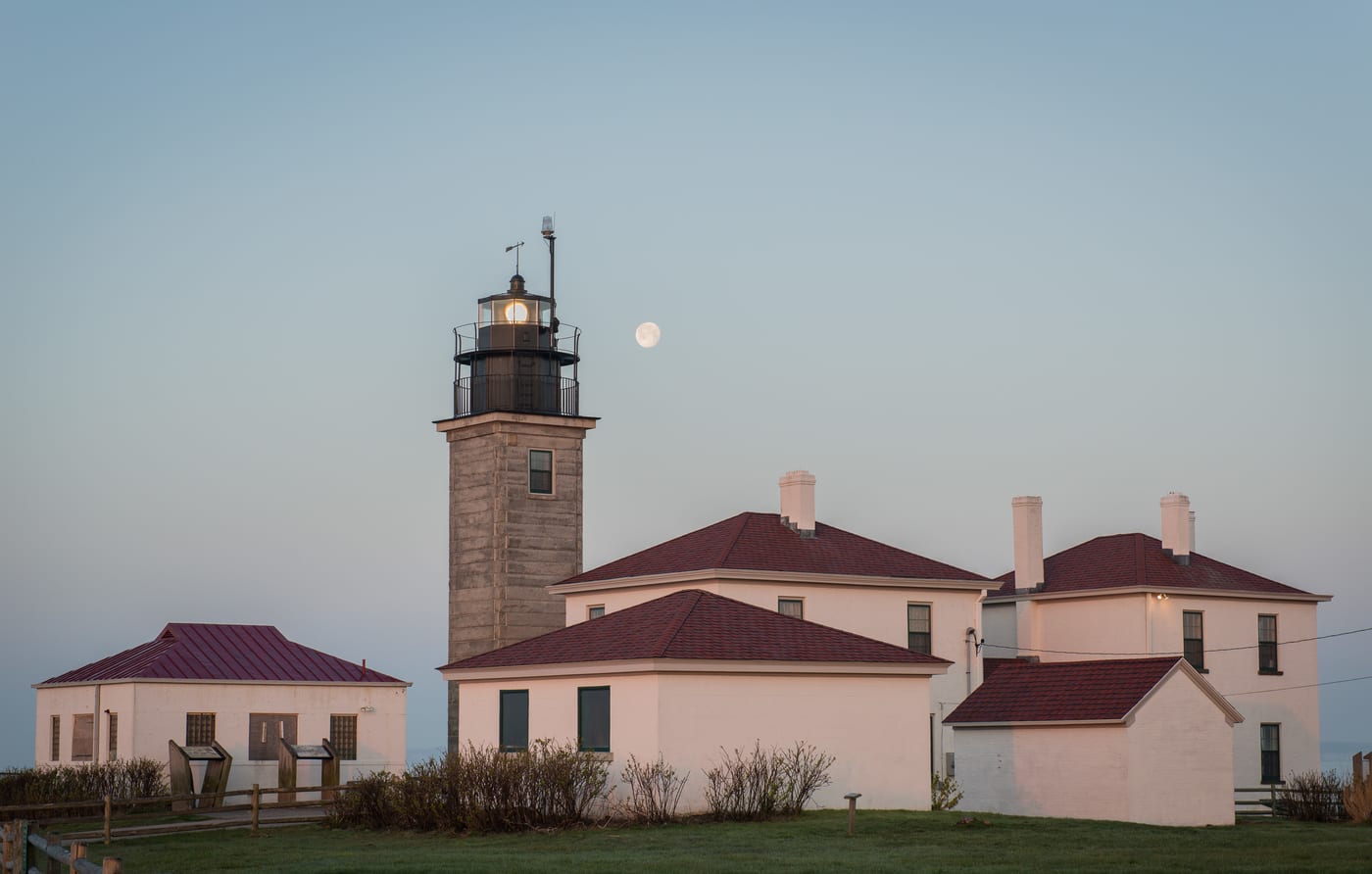
Beavertail Lighthouse near the water in Jamestown, Rhode Island
Experiences

Beavertail State Park

The bay-island scenery stop for travelers who want a quieter Newport-adjacent coastal stop without committing to downtown Newport.

Jamestown Coastal Park

Last checked

JamestownBayState Park
  • Useful as a bridge between Newport and mainland routing.
  • Strong for sunset and scenery, weaker as a full-day base.
Guides

Guides that use this area

Where to stay

Compare places to stay around Jamestown + Bay Islands

Compare current accommodation prices around Jamestown + Bay Islands for your dates.

This is a partner hotel map from Stay22, not an official booking desk. It shows third-party availability around Jamestown + Bay Islands; if you book through it we may earn a commission at no extra cost to you. Confirm the exact location, dates, price, and cancellation terms before booking.
Live stay comparisonSee what fits your datesCompare live availability after choosing the right area above.

The map loads from Stay22 only when you choose to open it.