Visitor area

Block Island + New Shoreham

A separate ferry-dependent trip lane, not a casual add-on, with beaches, bluffs, bikes, weather exposure, and limited lodging pressure.

Coverage posture

2 source-checked anchors

Each anchor exists to explain a visitor decision: base, beach, island, airport, bike path, bay scenery, or heritage lane.

Categories

Use categories only after the area is clear

Visitor anchors

Source-checked anchors for this lane

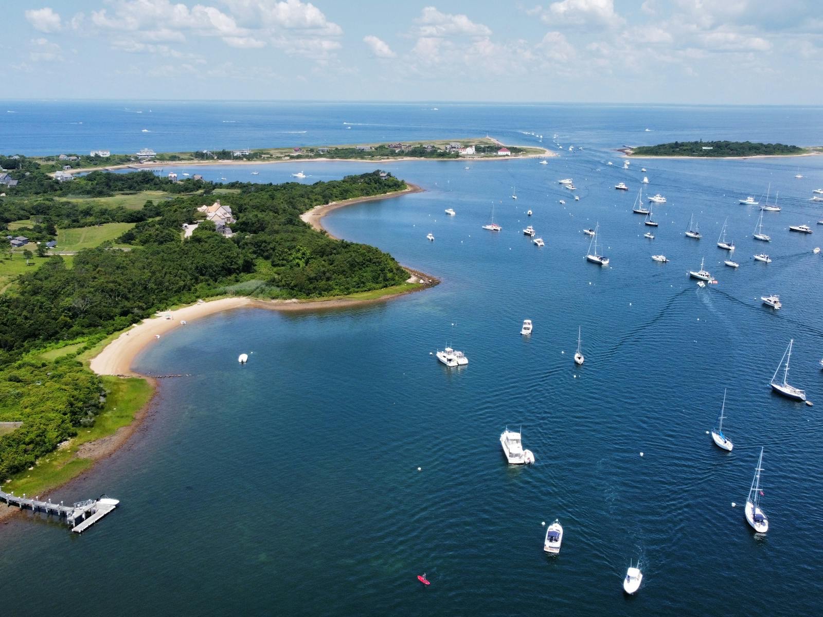
The planning hinge between South County and Block Island; ferry timing decides whether the island is a day trip, overnight, or bad idea.

Point Judith / Galilee Ferry

Last checked

Block IslandFerryPoint Judith
  • Check Point Judith schedules before promising a Block Island day.
  • Use ferry timing to decide whether South County should be the mainland base.
Experiences

Mohegan Bluffs

The Block Island view that makes the ferry feel justified, but it should be planned around mobility, weather, and island transport.

Southeast Block Island Coastal View

Last checked

Block IslandBluffsView
  • Best used as a signal that Block Island is a separate island day, not an easy side stop.
  • Mobility and stairs can change whether it belongs in the plan.
Guides

Guides that use this lane